
Flood Hotspots Mapped as Govt Unveils 7 Measures Ahead of El Niño Rains
Share
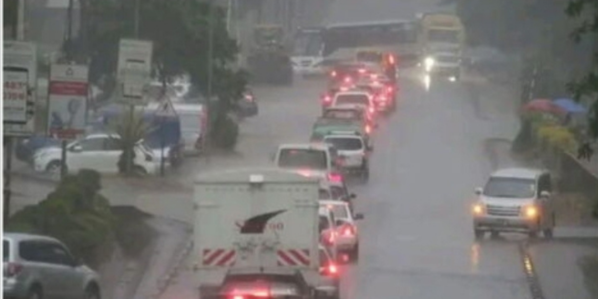
The government has listed seven measures it is implementing to strengthen preparedness ahead of the October–December (OND) El Niño rains.
In a statement issued on Tuesday, September 1, 2026, the Ministry of Interior and National Administration said above-normal rainfall is expected across most parts of the country, increasing the risk of flooding, drowning, injuries, fatalities, displacement and damage to critical infrastructure.
“With some counties, particularly in the Western/Nyanza and North Eastern regions, expected to experience an early onset of the rainfall season, the government is implementing a National Contingency Plan to strengthen preparedness and response and minimize the potential impacts of the rains,” the ministry stated.
The anticipated impacts also include disease outbreaks, disruption of essential services, damage to roads and other critical infrastructure, as well as losses to crops, livestock and livelihoods.
El Niño Flood Hotspots Mapped
First, the government has mapped hotspots to identify areas particularly vulnerable to flooding and other impacts of heavy rainfall.
“Priority areas include riverine and low-lying areas, coastal areas, highland and landslide-prone areas, arid and semi-arid lands (ASALs) and northern Kenya, as well as urban areas prone to flooding,” the ministry said.
The mapping will help authorities prioritize preparedness, evacuation and response interventions.
In addition, agencies have identified roads and transport infrastructure that could be affected across Northeastern, Tana River, Coastal, Western/Nyanza, Rift Valley, Turkana, Nairobi, Central and Eastern regions.
Drainage and Evacuation Plans
Second, authorities are unclogging and desilting drainage systems, culverts and other water channels to improve water flow and reduce the risk of urban flooding.
Relevant agencies, including the Kenya Urban Roads Authority (KURA), have identified choke points and are clearing affected sections.
At the same time, agencies responsible for infrastructure and disaster preparedness continue to clear drainage systems and water channels in flood-prone areas.
The government is also strengthening solid waste and garbage management, including through Climate WorX, while ensuring workers have the equipment they need to carry out the work safely.
Also Read: Nairobi, Kiambu and Central Kenya Counties Set to Experience Cool, Cloudy Weather
Third, authorities are preparing to evacuate people living on riparian land and other high-risk areas as they have identified temporary holding grounds for populations that flooding and other emergencies may displace.
Meanwhile, authorities are monitoring water levels in rivers and other water bodies, paying particular attention to major dams and communities living along riverbanks.
Roads, Bridges and Utilities Inspected
Fourth, relevant agencies are inspecting bridges, roads and critical utilities in flood-prone areas.
Through these inspections, authorities aim to identify vulnerabilities early and undertake preventive interventions before the rains cause major disruptions.
The government has also identified potentially vulnerable transport infrastructure and is strengthening monitoring and response planning in affected regions.
Also Read: Sakaja Launches Fresh Nairobi Flood Measures as El Niño Rains Approach
Early Warning and Emergency Response for El Niño
Fifth, the government is strengthening community-level early warning systems through Chiefs, Assistant Chiefs and Nyumba Kumi structures.
“Community-level early warning systems are also being strengthened through Chiefs, Assistant Chiefs, and Nyumba Kumi structures to ensure that timely information reaches communities, particularly those living in high-risk areas,” the ministry said.
Public sensitization on disaster preparedness, early warning information and appropriate response measures is also being intensified.
Beyond early warning, the government is pre-positioning emergency relief items, including food, non-food items and emergency medical supplies, at strategic locations to facilitate rapid response during displacement and other emergencies.
Finally, authorities are strengthening rapid response teams and keeping them on standby to conduct search and rescue operations, evacuations and post-disaster assessments whenever necessary.
The National Contingency Plan brings together national and county government agencies, humanitarian partners, security agencies and other disaster management stakeholders to strengthen preparedness and response.
The government is therefore urging communities, particularly those in high-risk areas, to remain alert to official early warning information and follow safety and evacuation instructions when issued.
Follow our WhatsApp channel for instant news updates

Interior CS Kipchumba Murkomen during a consultative meeting with Uasin Gishu County MCAs in Nairobi on June 16, 2026. PHOTO/Murkomen X